


Call for price and financing terms!
Property Details:
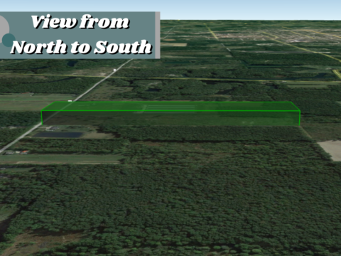
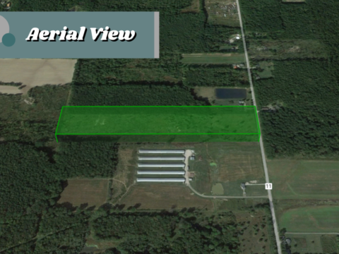
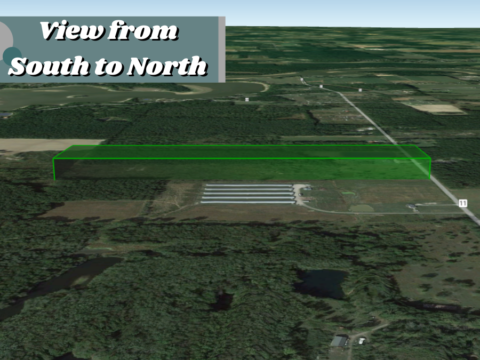
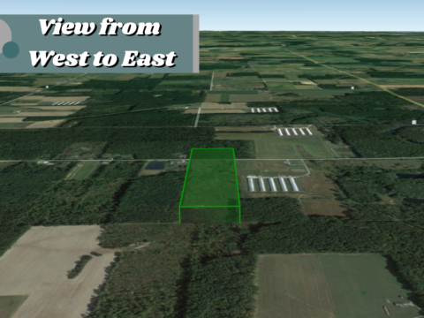
Property Details:
Parcel #:
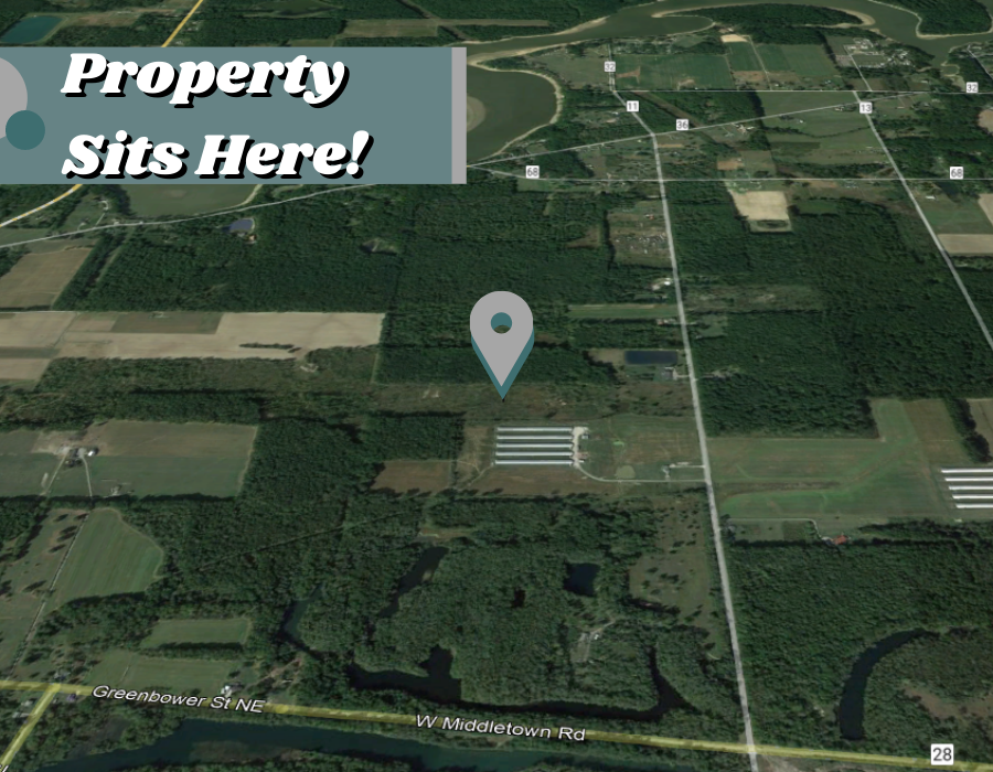
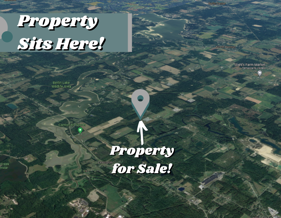
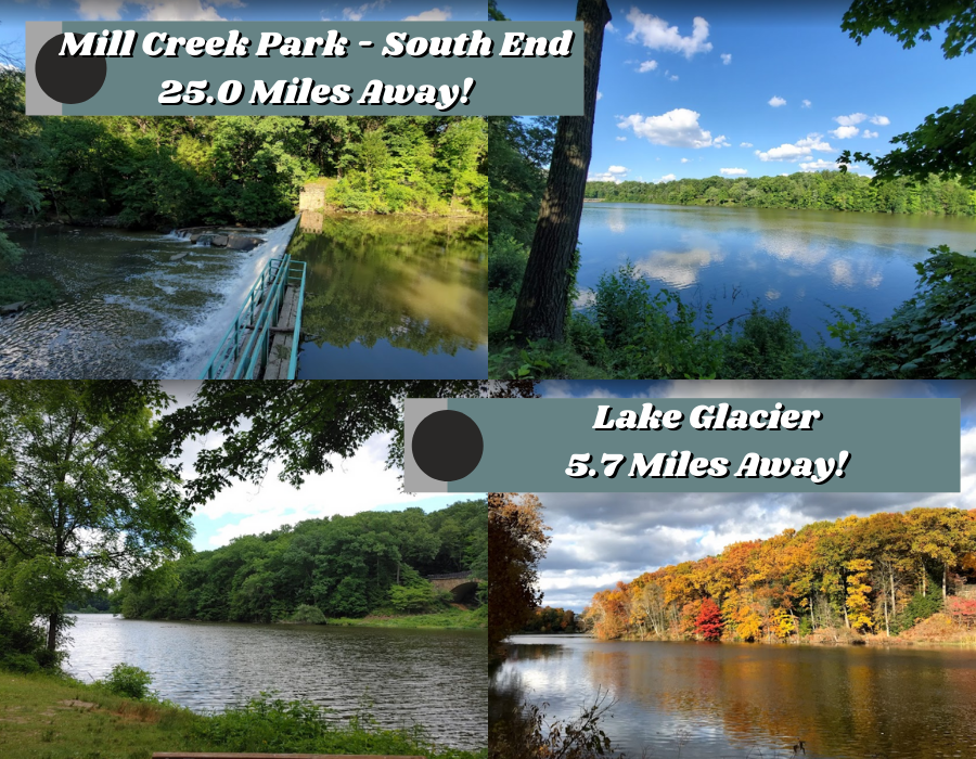
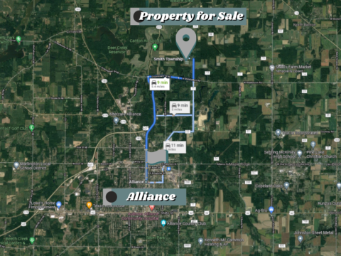
County: Mahoning
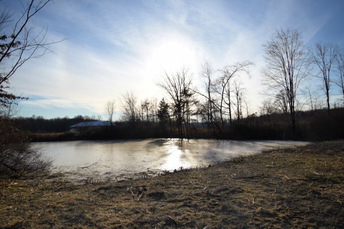
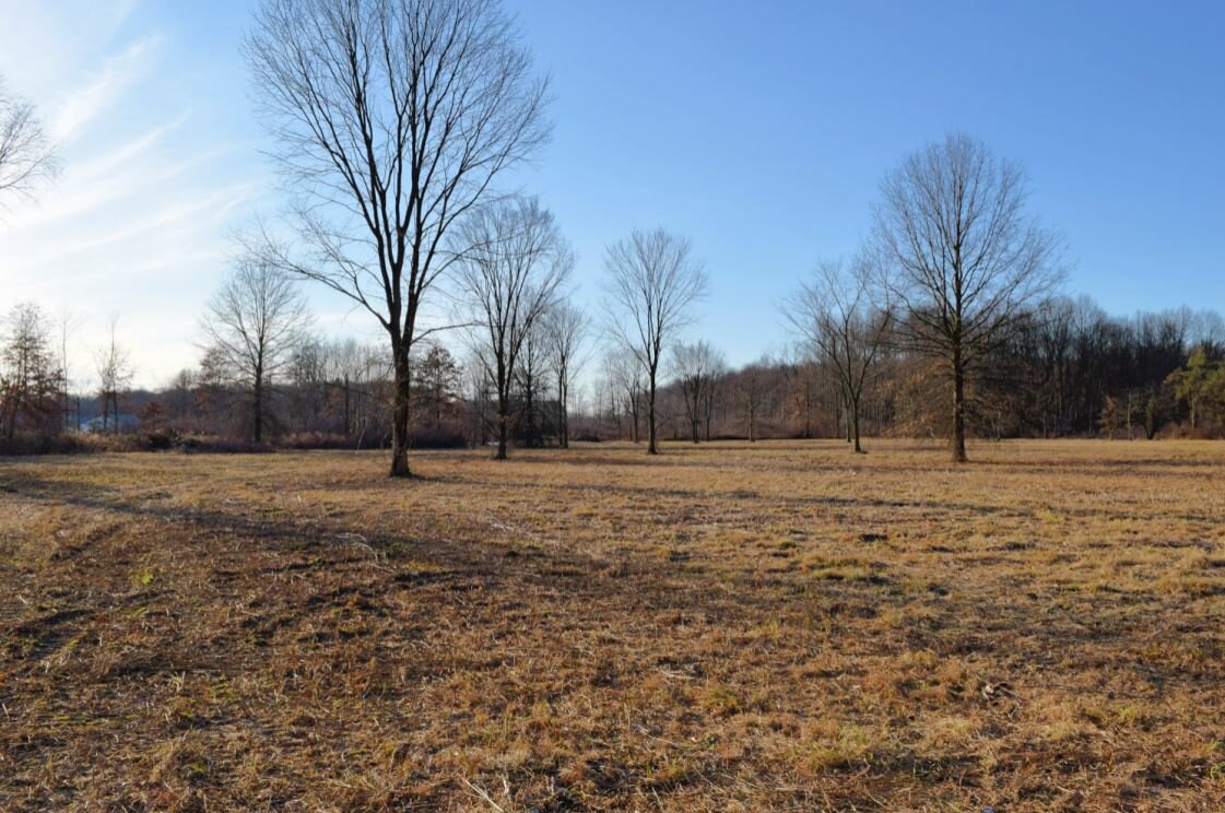
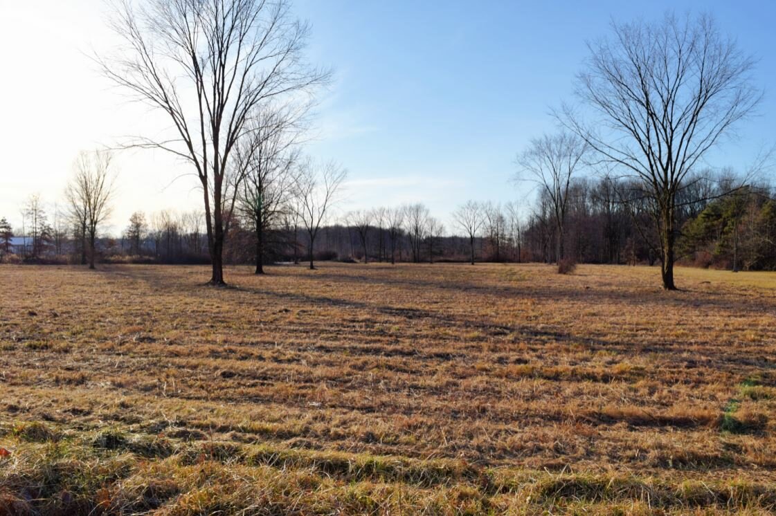
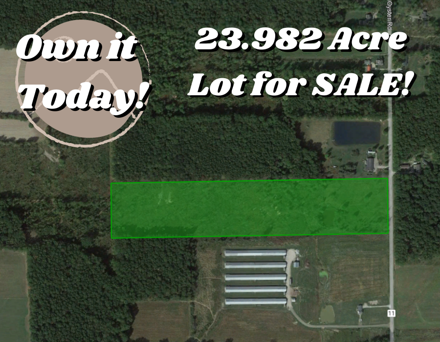
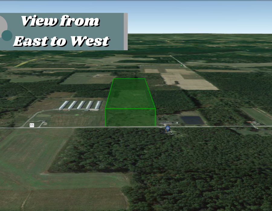
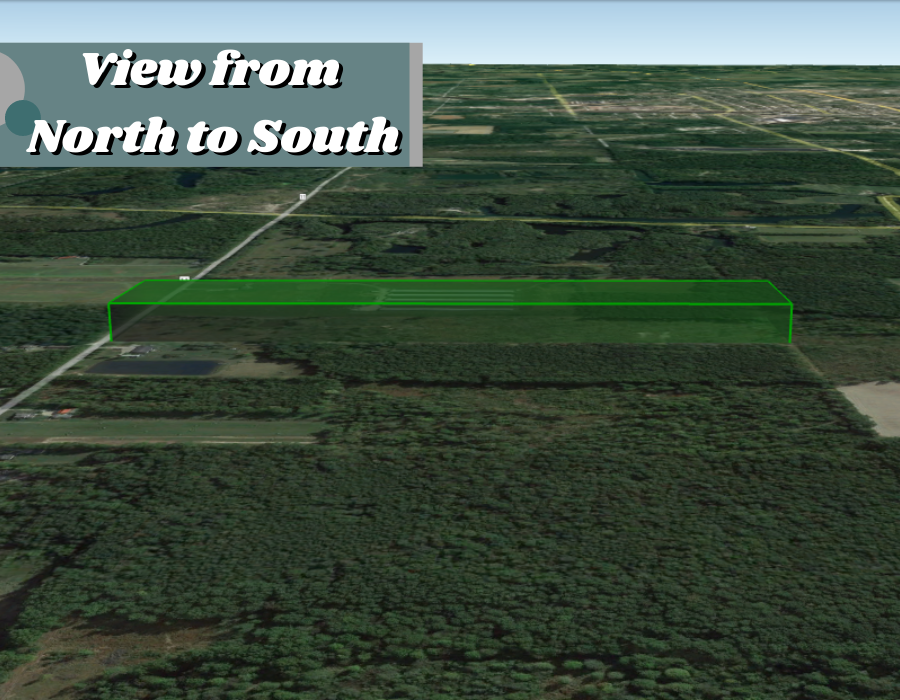
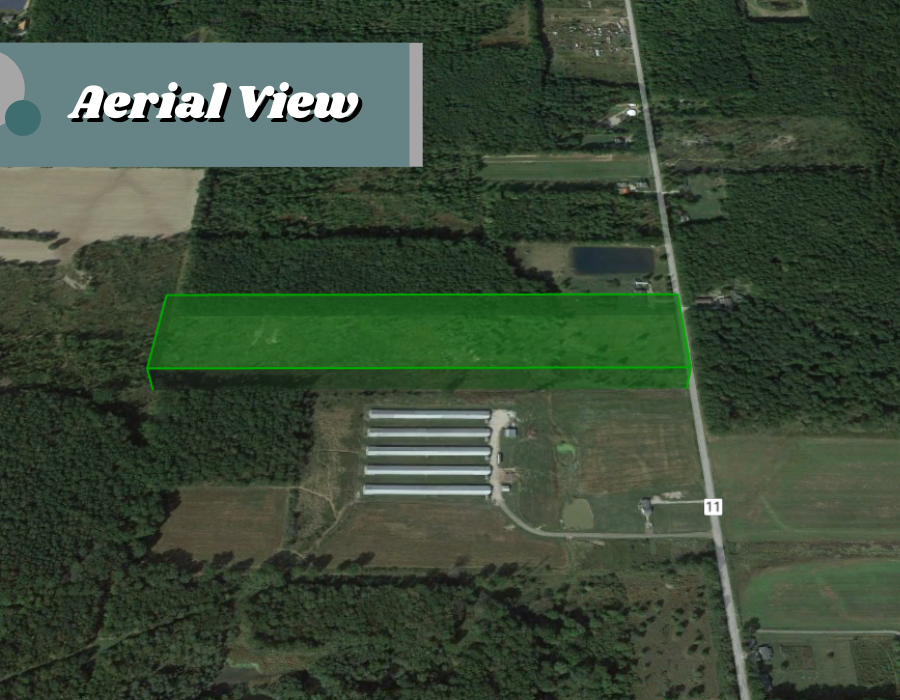
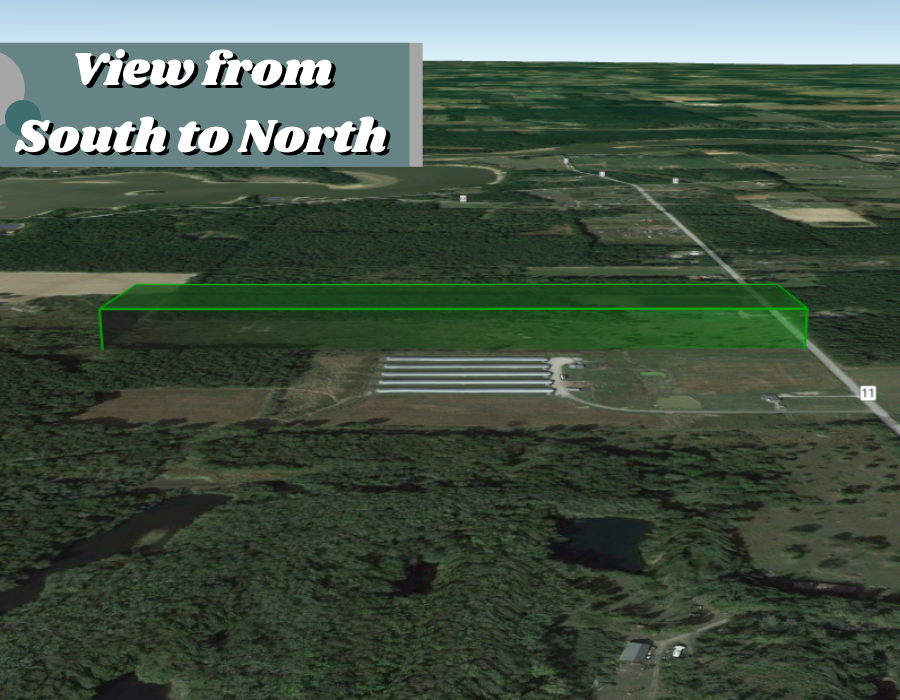
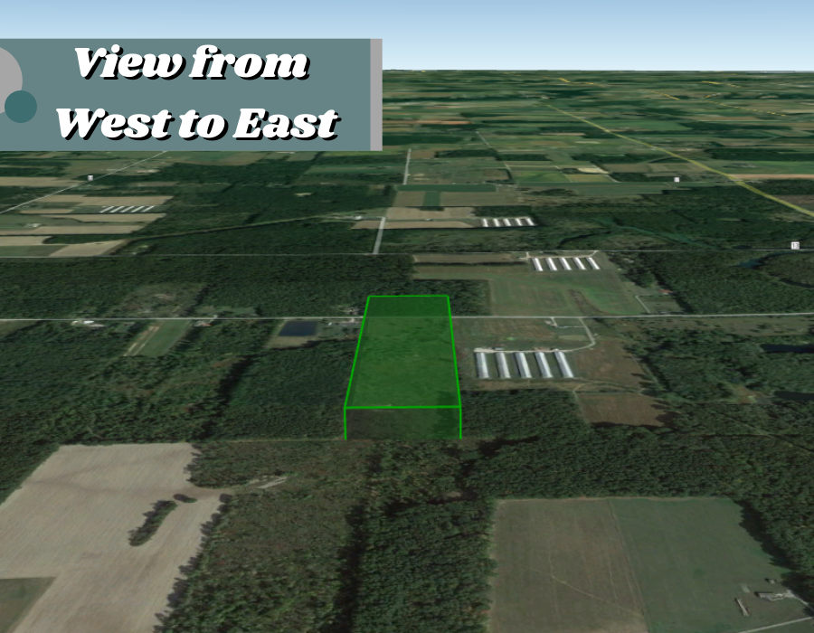
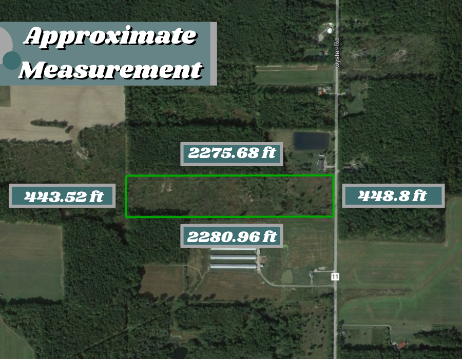
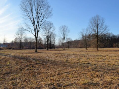
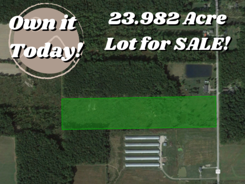
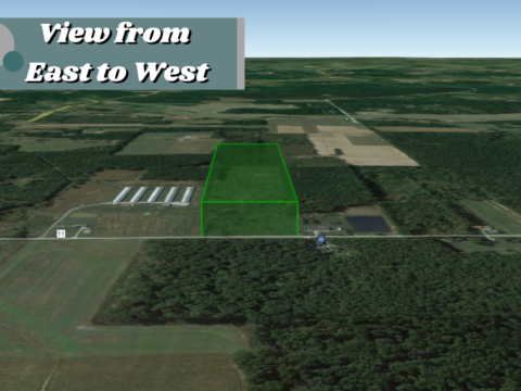
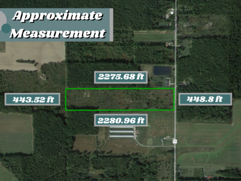
Parcel Size: 23.98 Acres
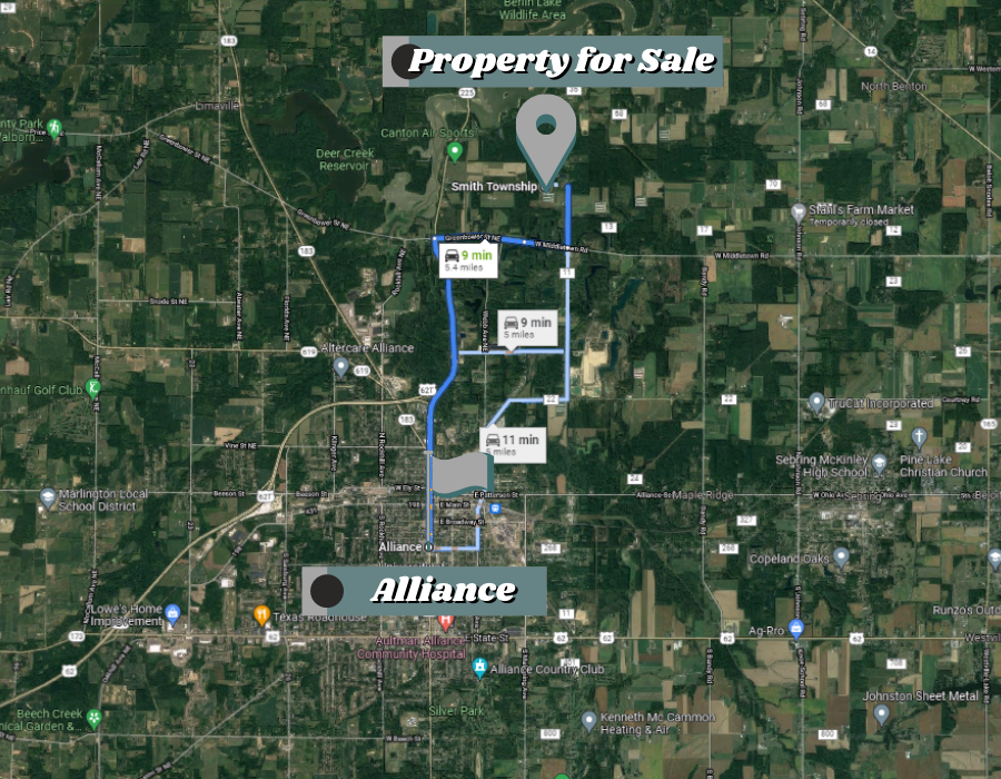
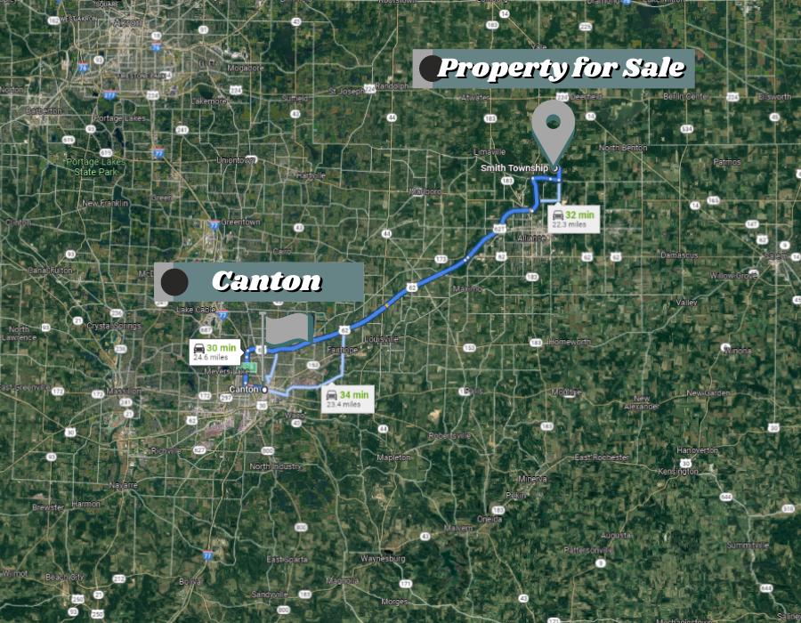
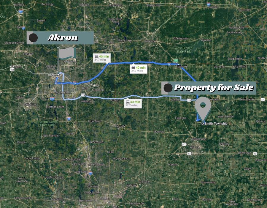
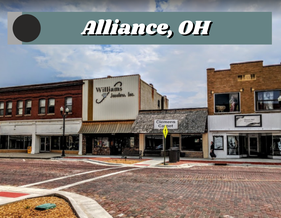
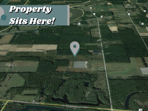
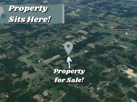
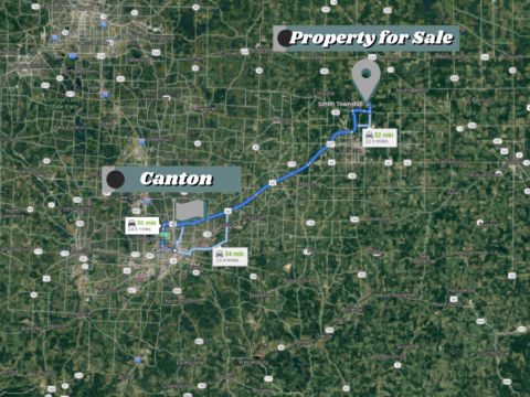
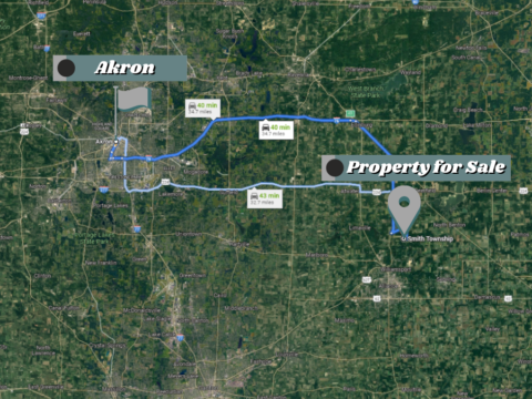
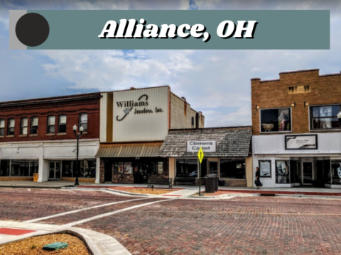
Address: 0 Oyster Rd, Alliance, OH 44601
Legal Description: SEC 7
GPS Center Coordinate Directions Link:
GPS Coordinates (Corners):
40.970490628692744, -81.08646035861226
40.969249425044254, -81.08646493128776
40.96926632035028, -81.07819033337458
40.97050804138777, -81.07818246622809
Minerals:None
Access to Property: Paved
Terrain:Level
Tax Amount: $873.5
Electric: Near the Road
![]()