


Property Details:
Property Details:
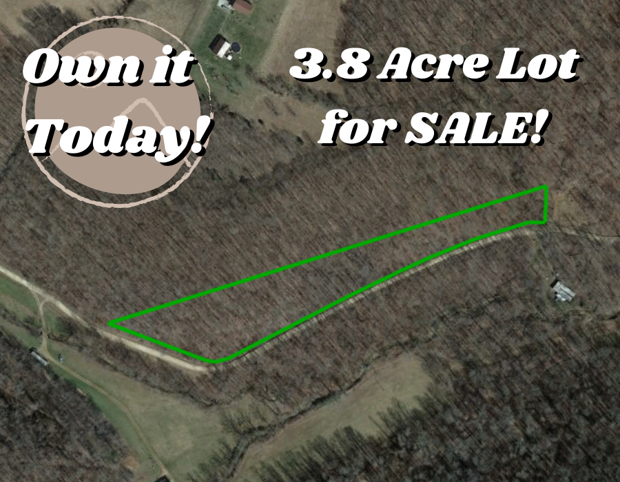
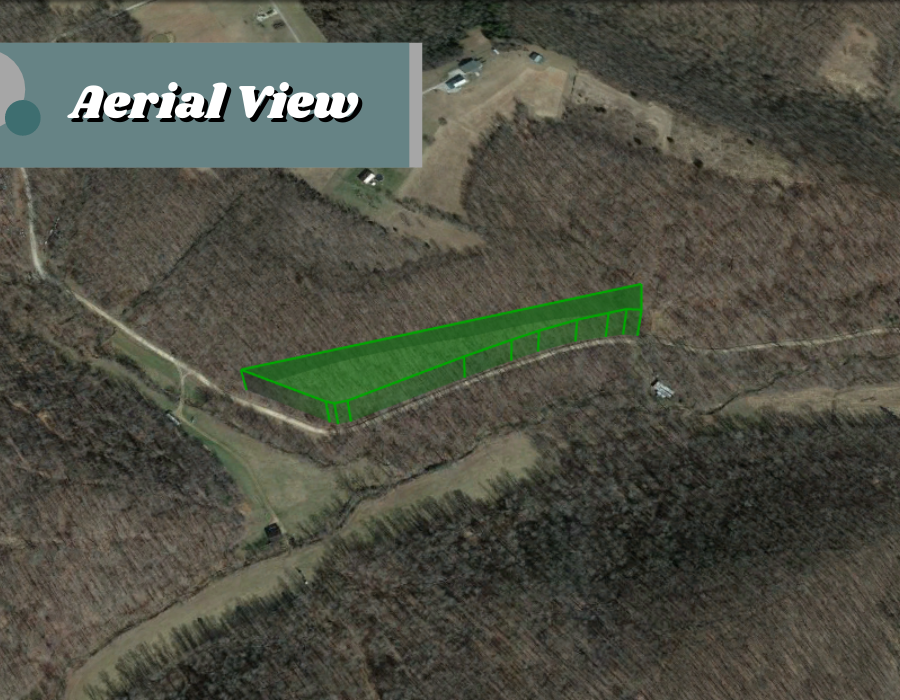
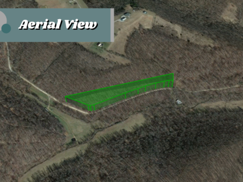
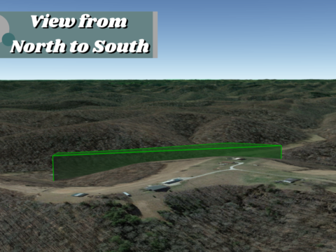
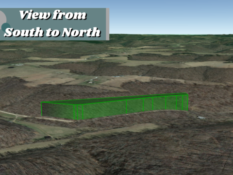
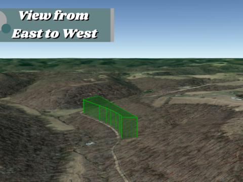
Parcel #:03-0154.001
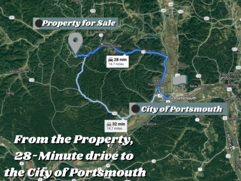
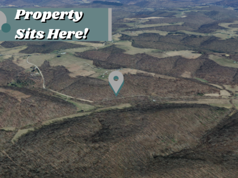
County: Scioto County
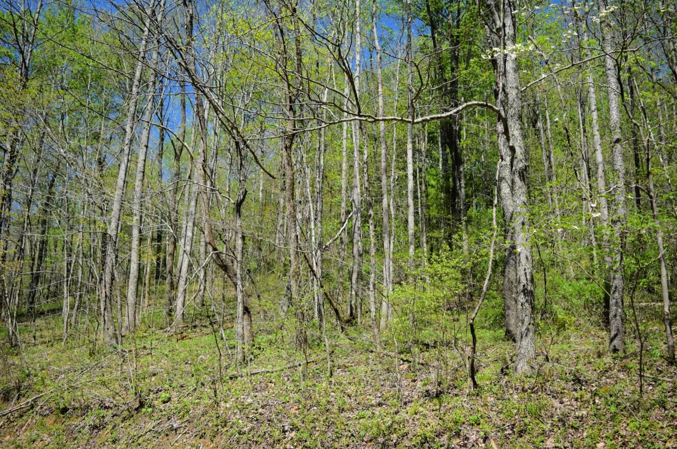
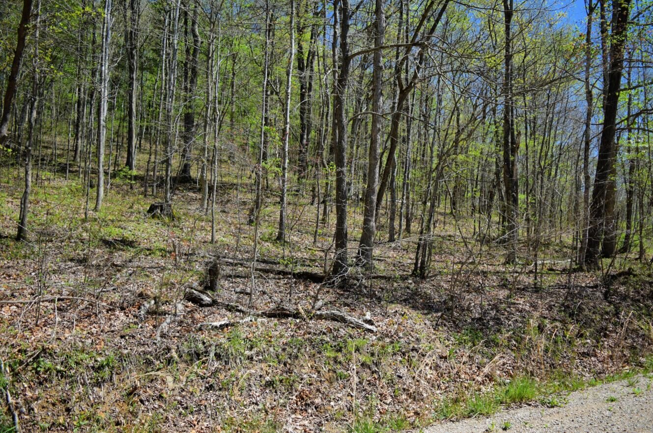
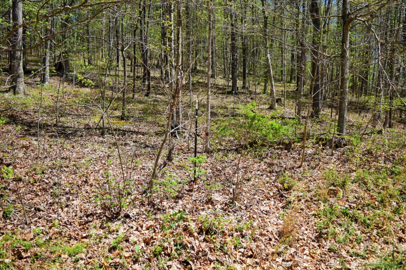
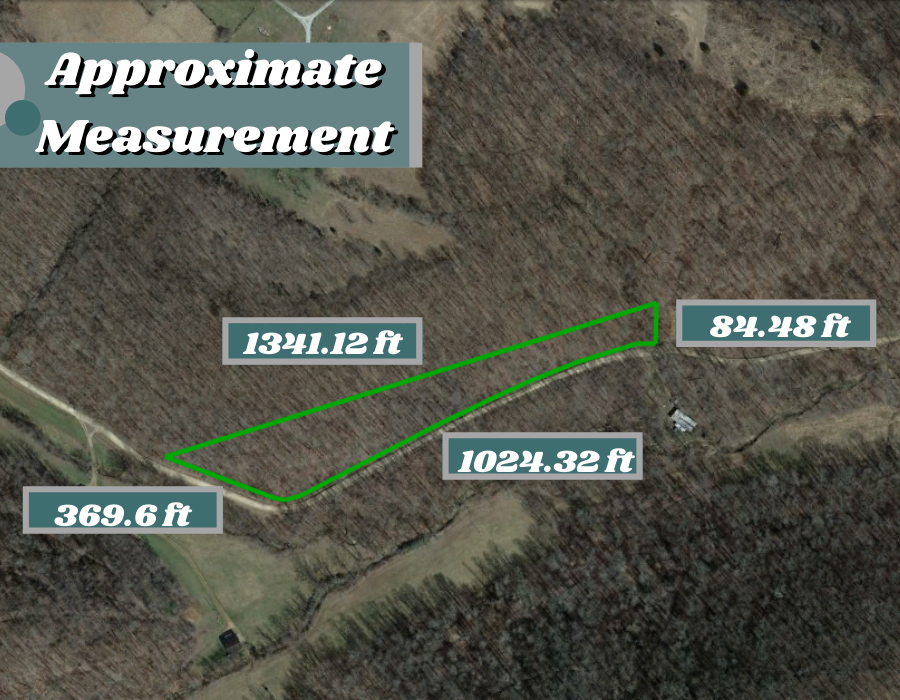
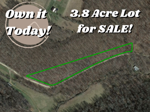
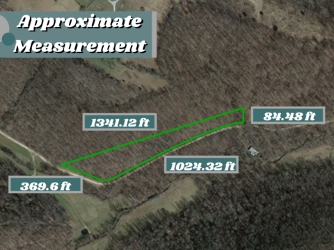
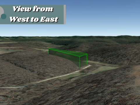
Parcel Size: 3.8 Acres
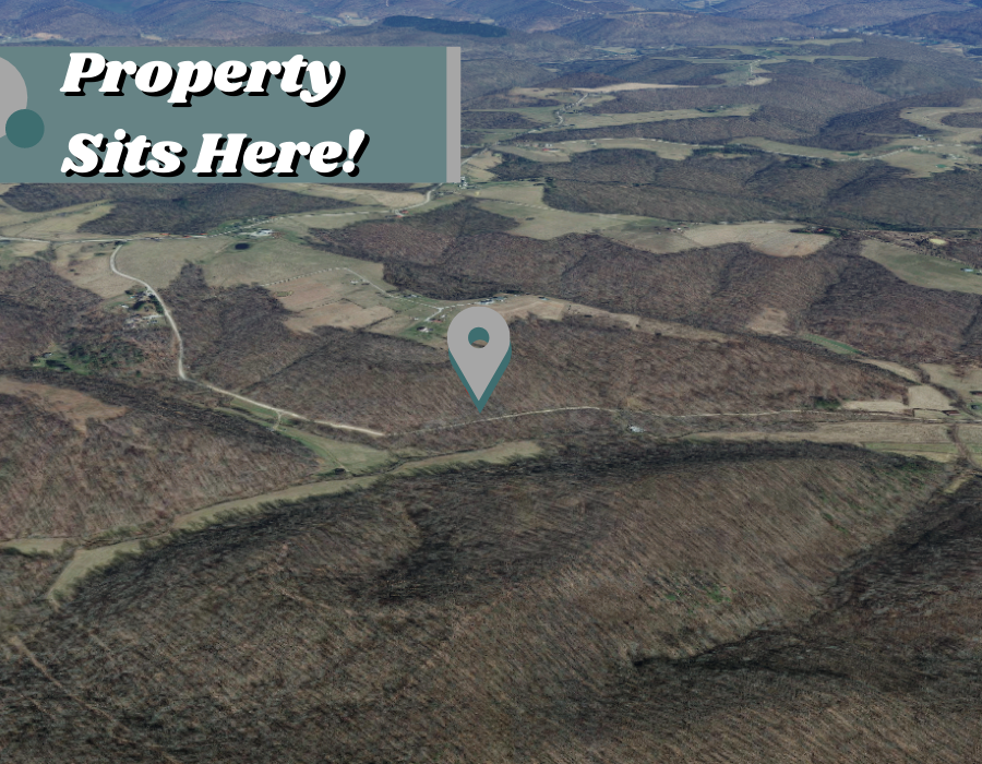
Address: 0 Long Run Rd, Otway, OH 45657
Legal Description: MASSIE-ROCKY FORK 3.795A VMS 14847 MAP 01-000
GPS Center Coordinate Directions Link: 38.804077622177694, -83.20837588327934
GPS Coordinates (Corners):
38.803698329588585, -83.21070237906483
38.80340054306931, -83.20970239276062
38.80338800178947, -83.20960583323851
38.80341987811604, -83.20946904066359
38.803925496499, -83.20821089121152
38.80412403420274, -83.20768455051072
38.80423379291, -83.20737610037652
38.804370889654024, -83.20694192383516
38.80446189802007, -83.20658158990878
38.804506574594626, -83.20637473864716
38.80450355557454, -83.20620042540338
38.80479867158948, -83.2062005963447
Minerals:None
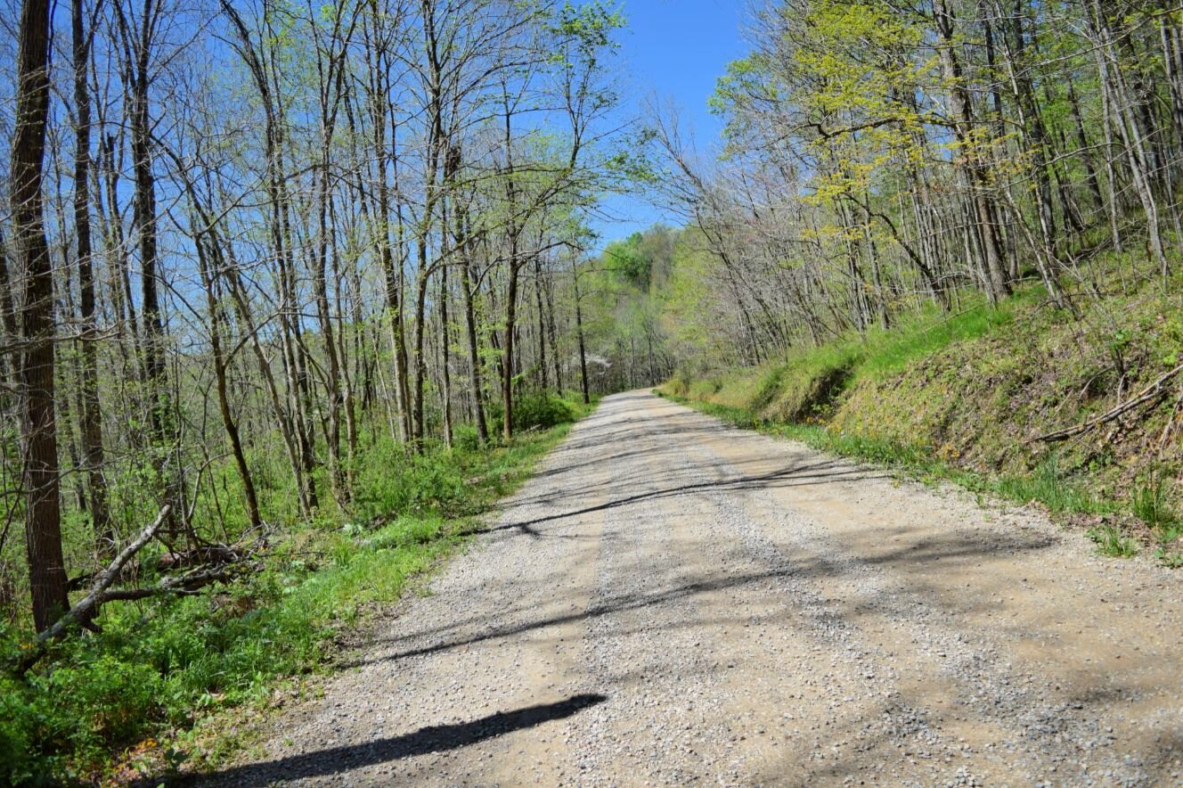
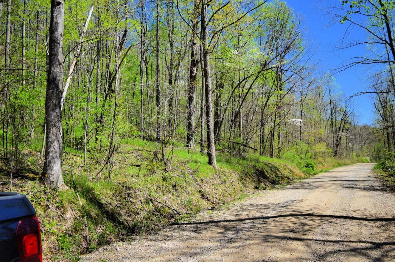
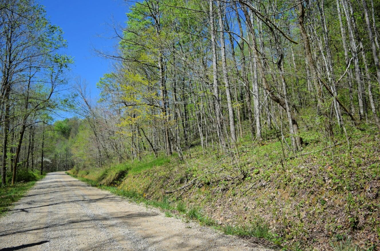
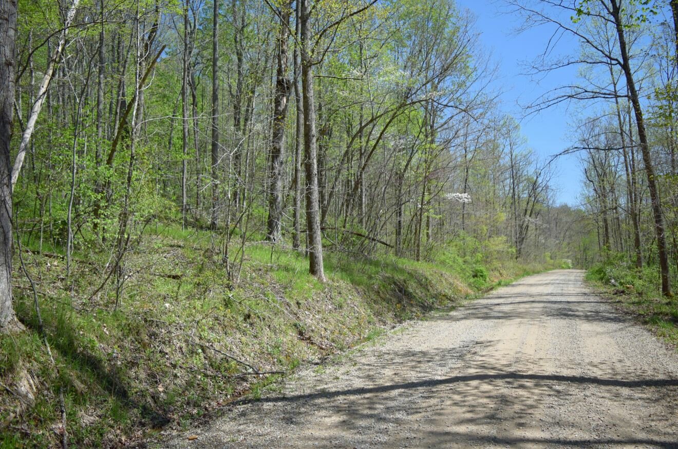
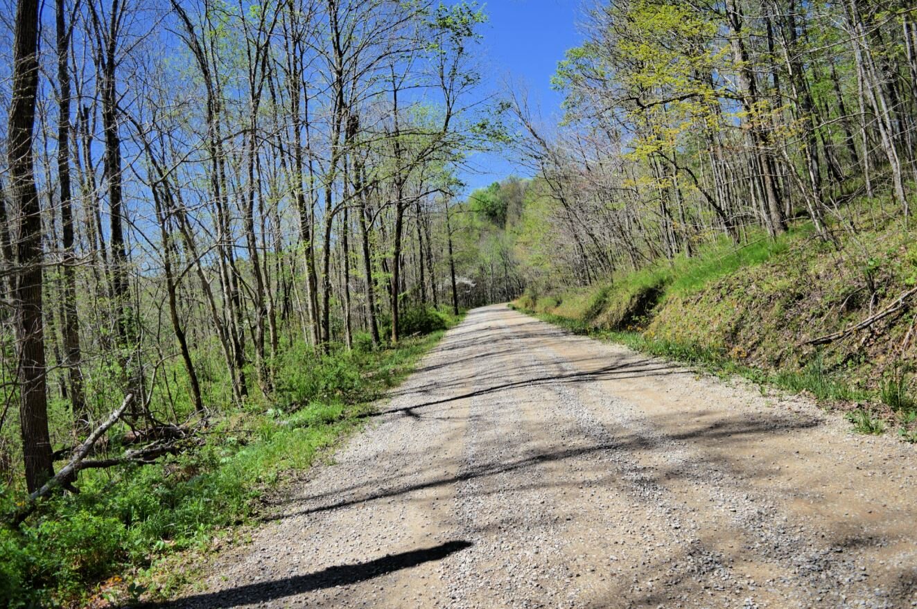
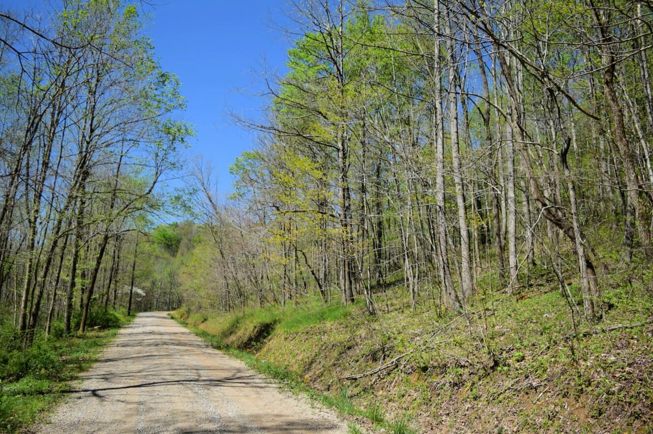
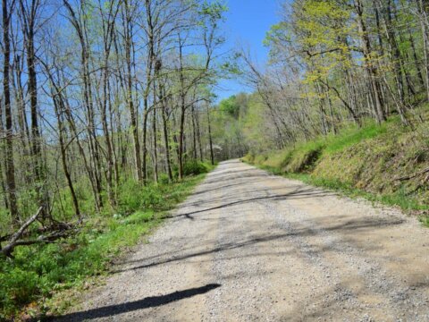
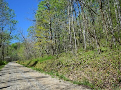
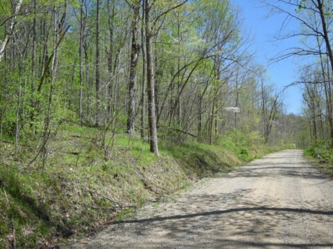
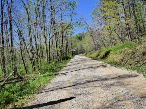
Access to Property: Dirt
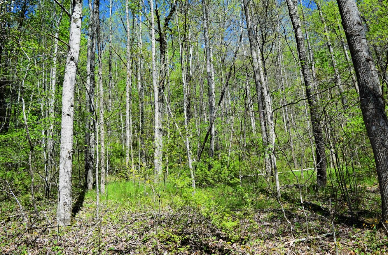
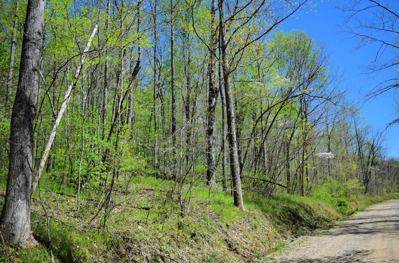
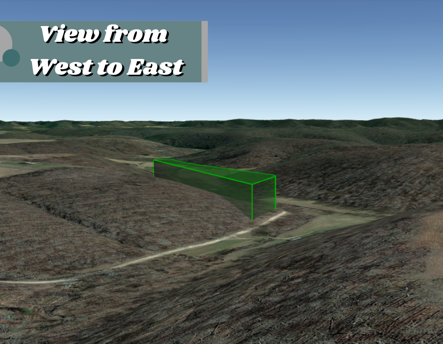
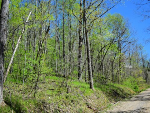
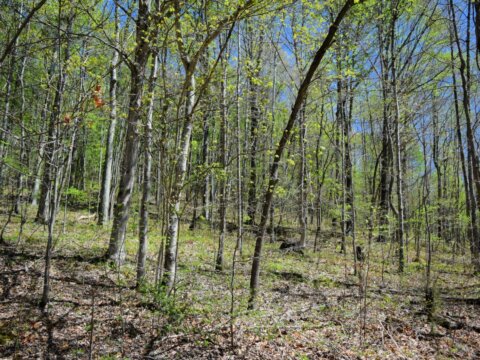
Terrain: Slope
Tax Amount: $43.52
Electric: Near the Road
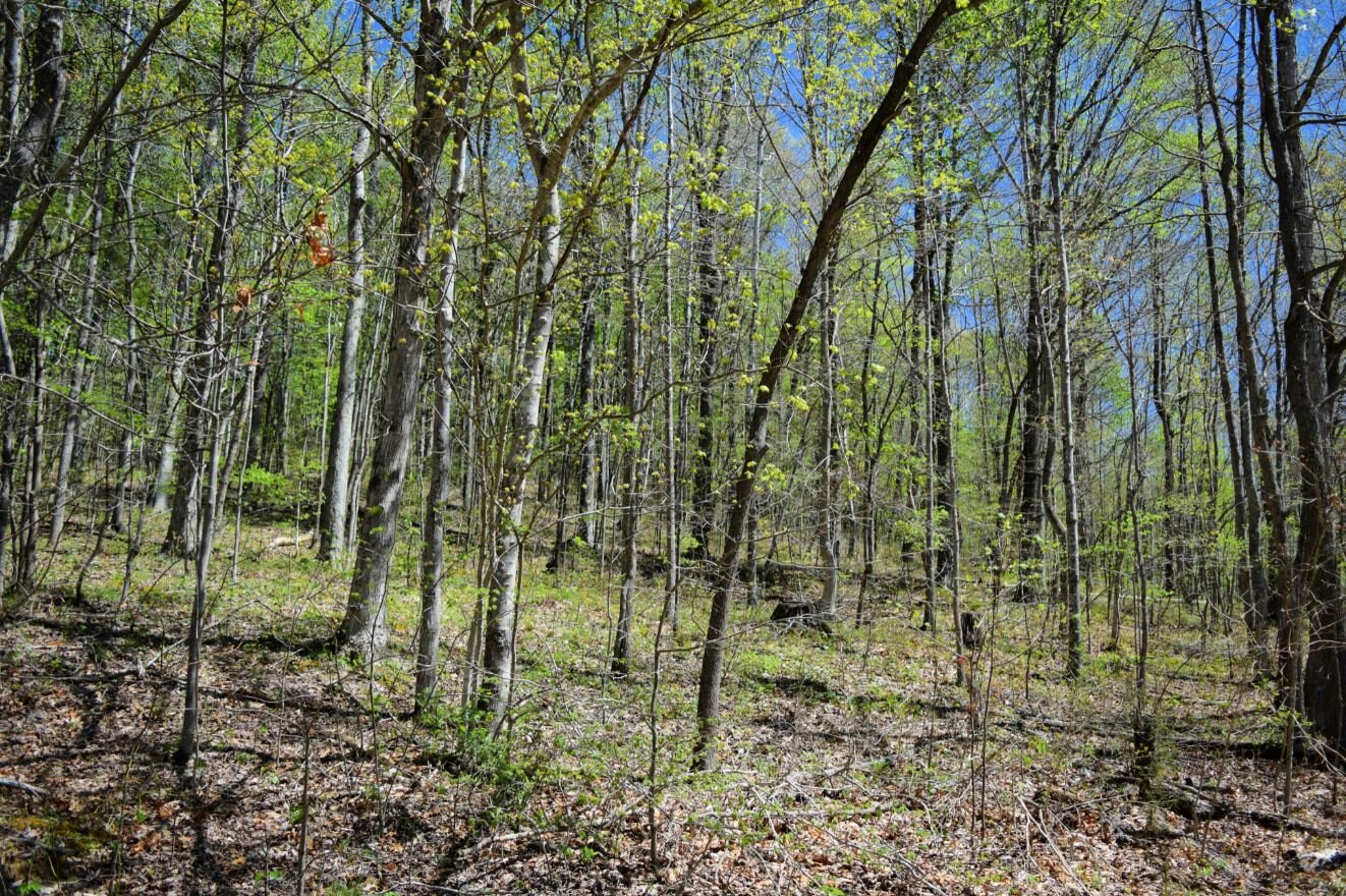
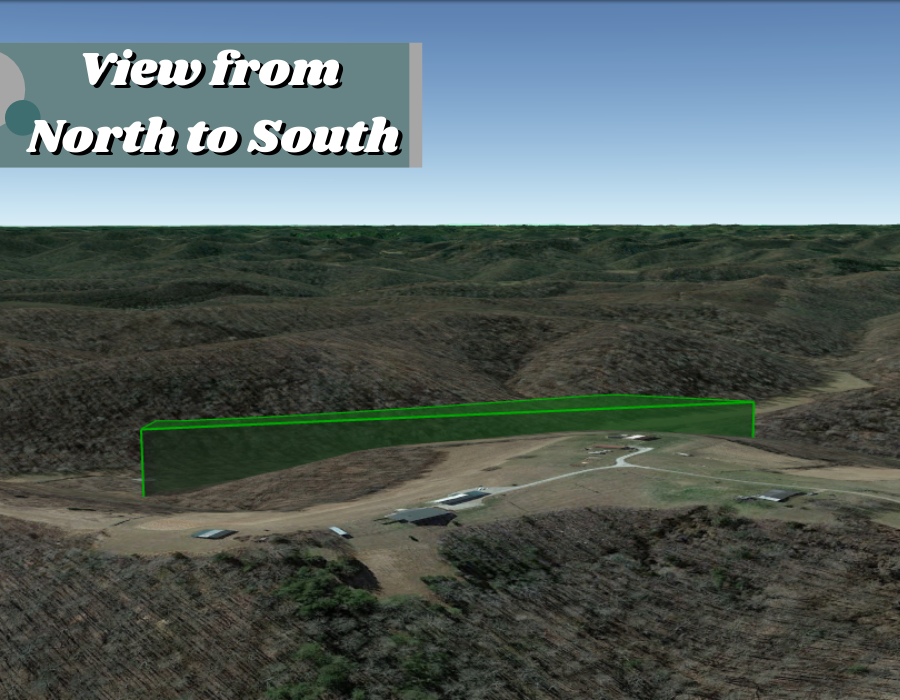
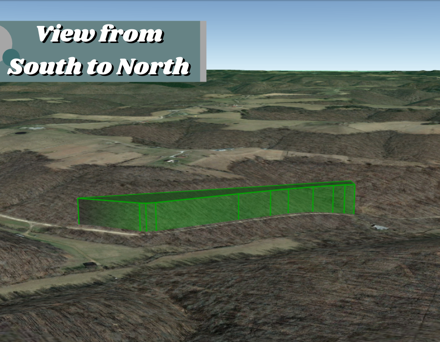
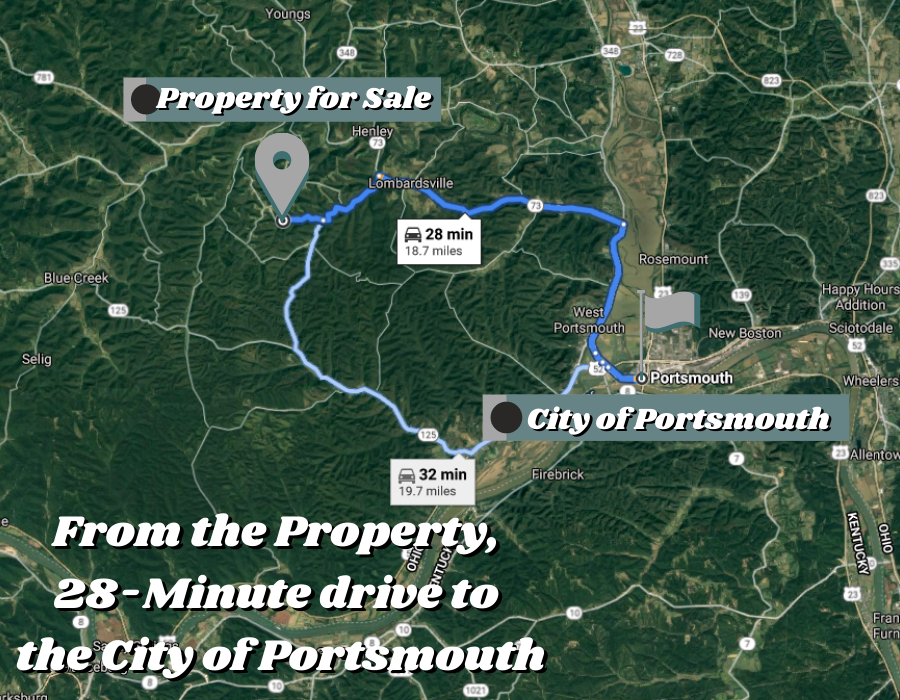
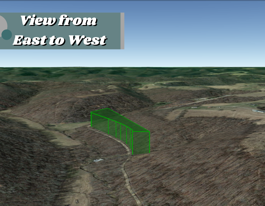
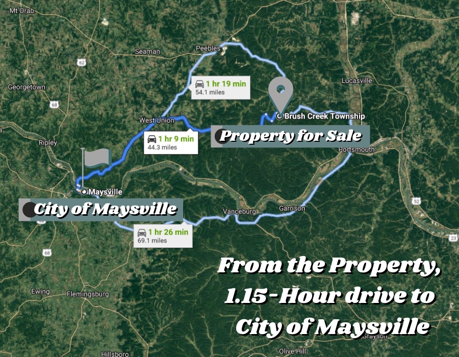
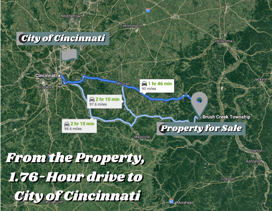
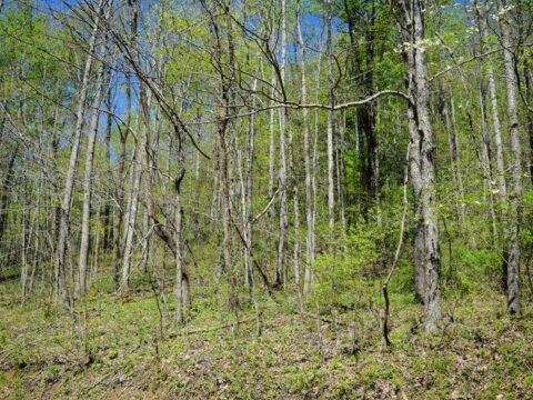
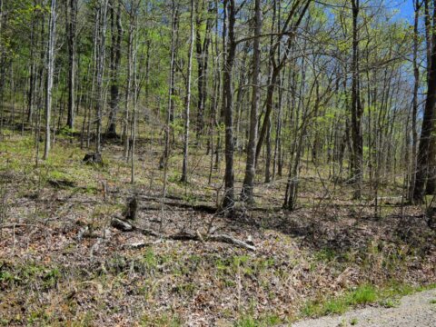
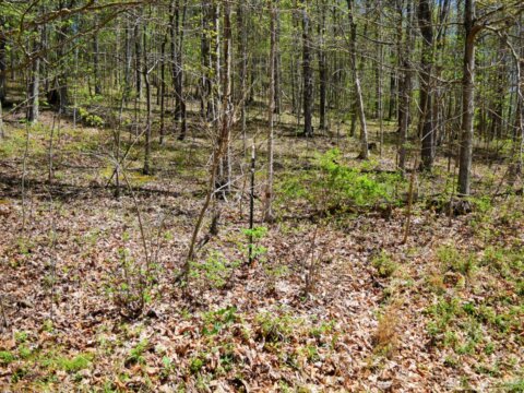
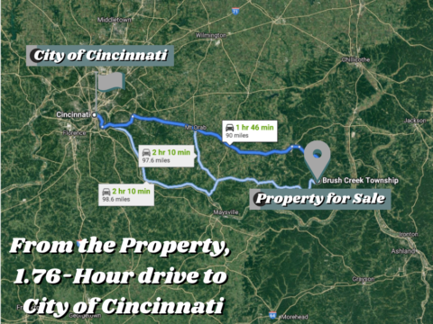
3.795 Acres of woodland Acres in Scioto County, Ohio! Located in the city of Otway and Brush Creek Township. Private, Beautiful Road! This land is perfect for a Secluded Cabin, Home, Recreation, or Hunting! 7 Miles to Shawnee State Park and 13 Miles to the Ohio/Kentucky Border. Only 90 Miles from Columbus and Cincinnati!
![]()