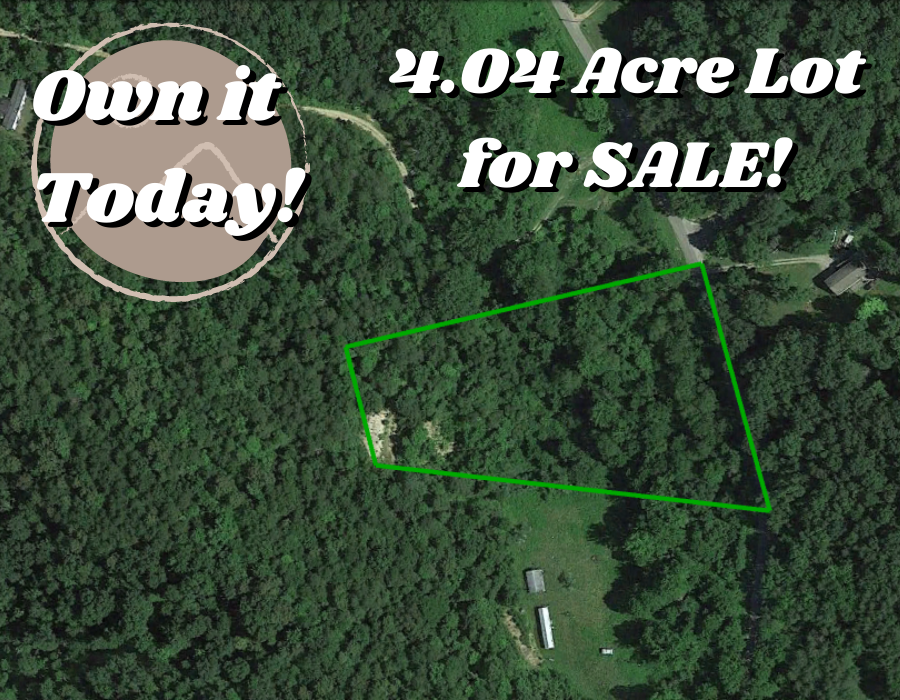
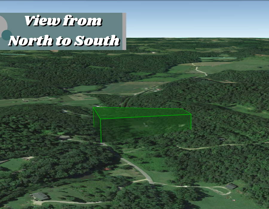
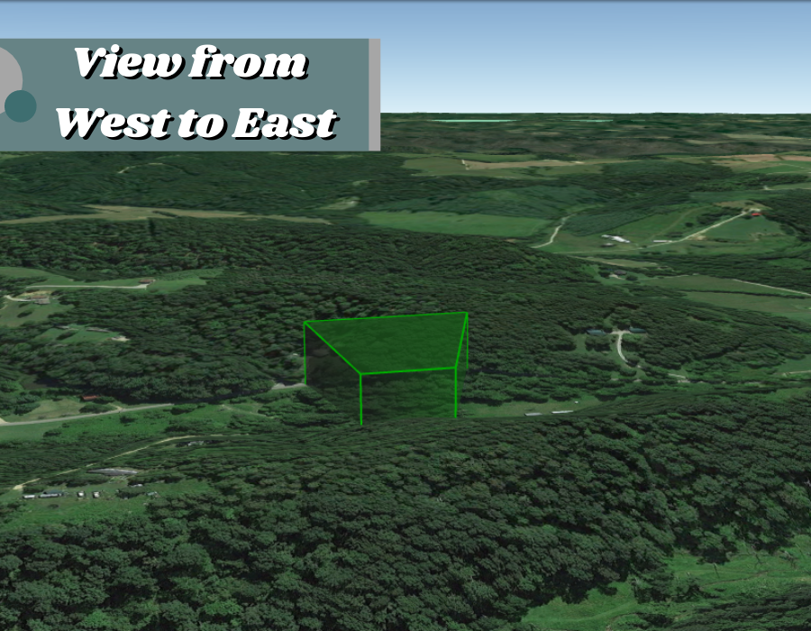
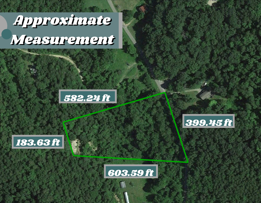
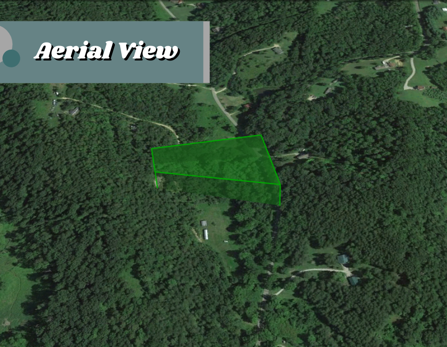
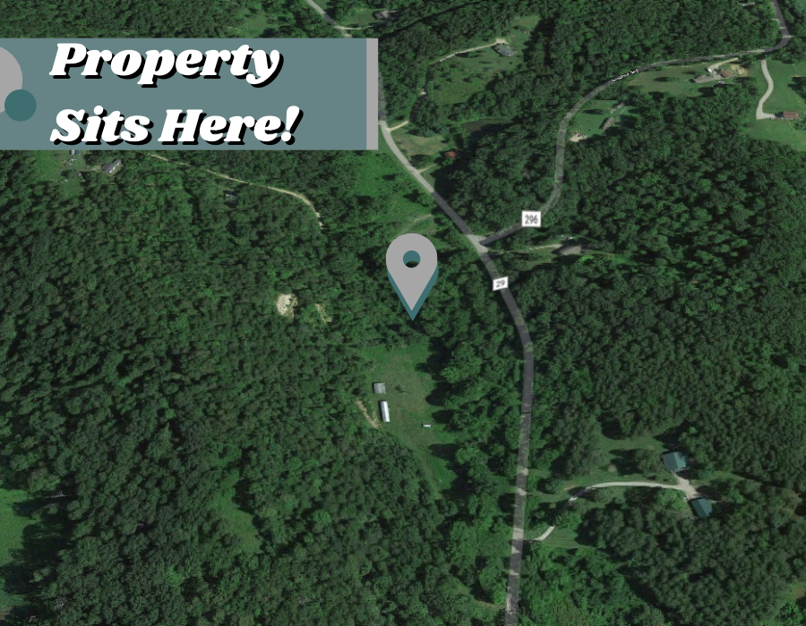
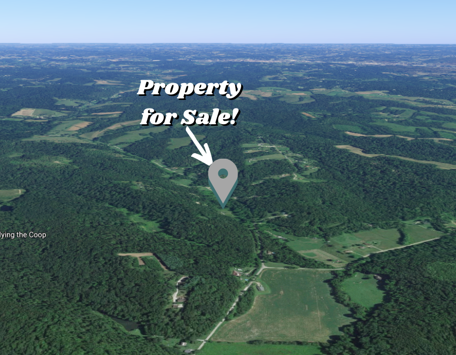

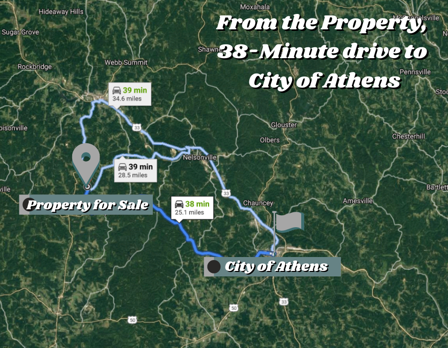
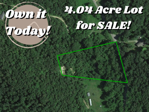
Property Details:
Parcel #
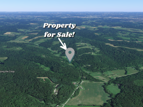
County: Hocking County
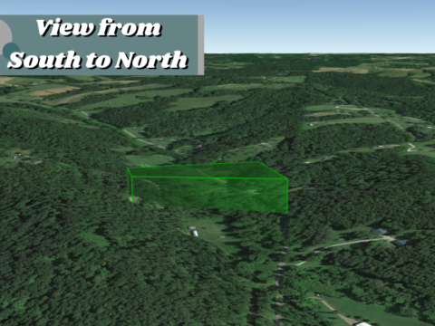
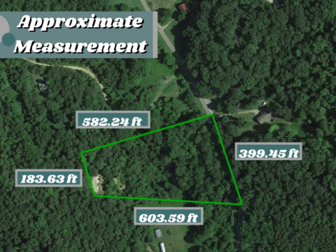
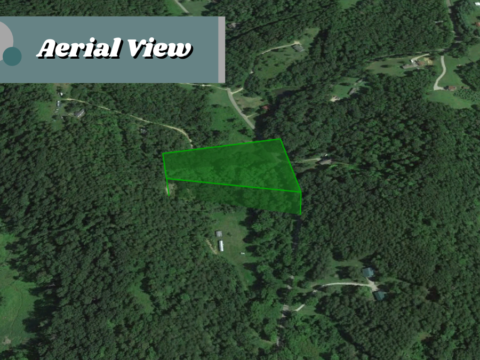
Parcel Size: 4.04 Acres
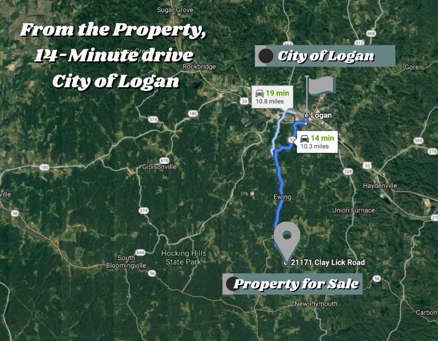
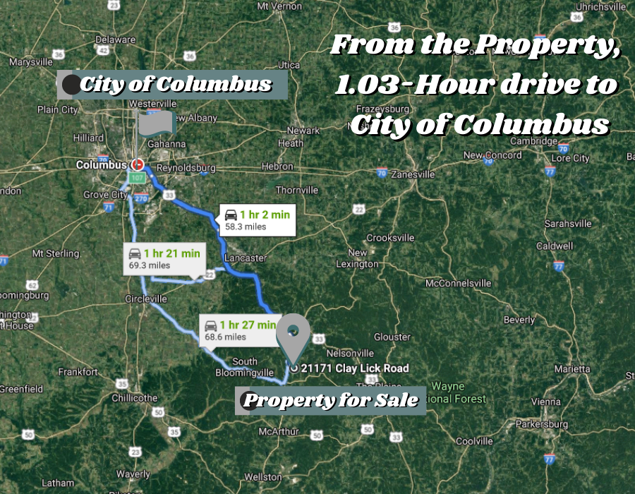
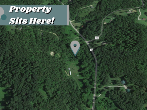
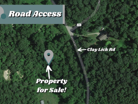
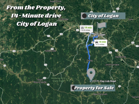
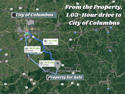
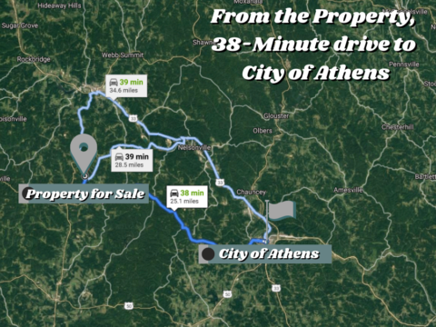
Address: 0 Clay Lick Rd, Logan, OH 43138
Legal Description: LOTS 2-3 PT. DEED REF OR363-404
GPS Center Coordinate Directions Link: 39.418554516318416, -82.42833153182201
GPS Coordinates (Corners):
39.419175419292856, -82.42764454001023
39.4187133476634, -82.42962065946459
39.41822349418068, -82.42941721006612
39.41811464920996, -82.42719583209008
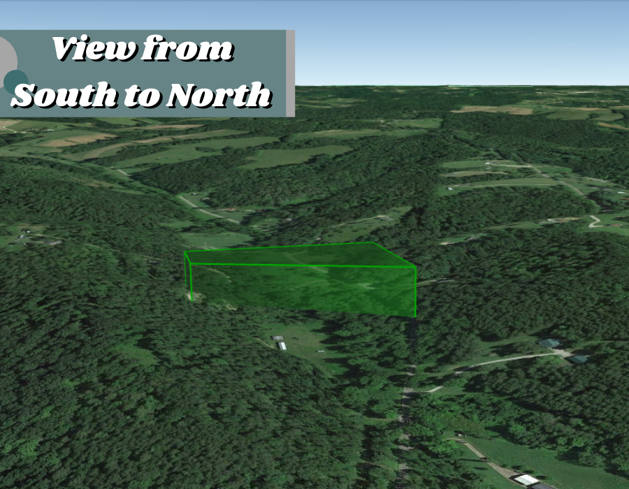
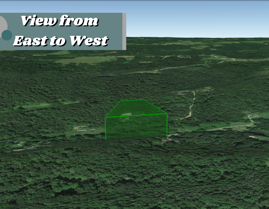
Access to Property: Paved
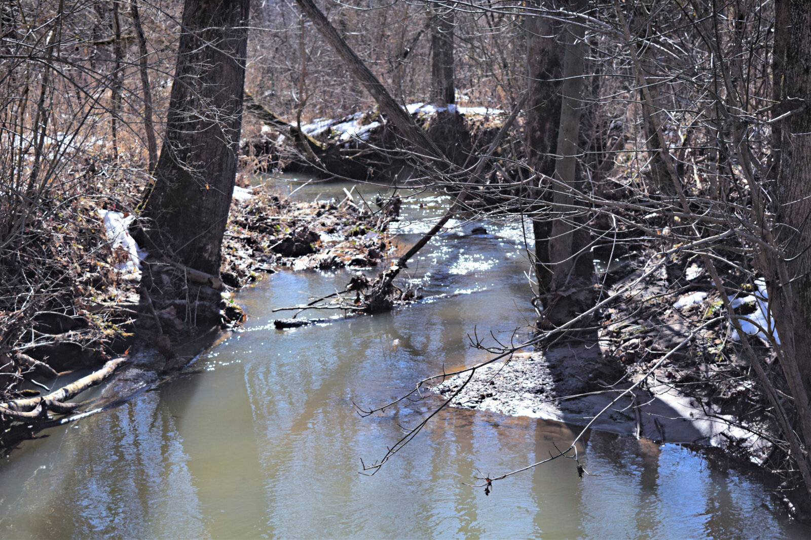
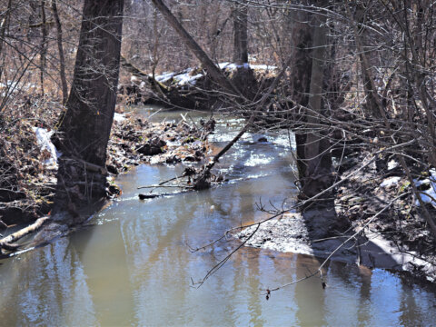
Terrain: Slope
Tax Amount: $141.92
Electric: Near the Road
![]()