Details:
Parcel #:
County: Perry County
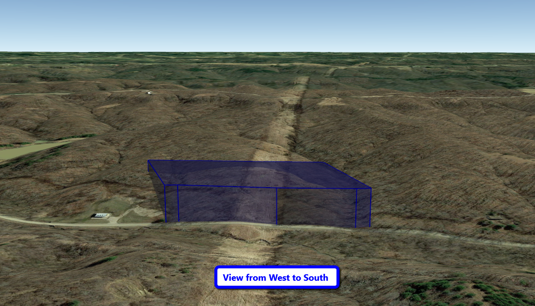
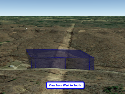
Parcel Size: 6.681 Acres
Address: 4393-4471 Co Rd 22, Corning, OH 43730
Legal Description: PT SE NE 1/4 & SURF PT NE NE 1/4
GPS Center Coordinates: 39.6526, -82.0888
Closest Neighboring Addresses: 4060 TATMANS RD SE CORNING, OH 43730
GPS Coordinates (Corners):
39.6538, -82.088
39.652, -82.0881
39.6517, -82.0895
39.6534, -82.0894
Access to Property: Paved
Terrain: Gently Rolling
Mineral Rights: None
Tax Amount: $124.06
Electric: Near the Road
6.681 Wooded Acres Located in Corning, Perry County, Ohio! Perfect Tract for Deer Hunting, Hiking, Private Recreational or Building a Secluded Cabin! Rolling Terrain. Electric is Available by AEP! Water is Available by Burr Oak Water District and Tap Fee is only $1,025. Well-Maintained Electric Easement runs through the Center of the Property. Only 11 Miles to New Lexington and 25 Miles to Zanesville. Property is surveyed. Financing Available.
![]()
How do I purchase this property?
You pay the $500 non-refundable earnest deposit with the “Pay Now” or “Buy on Terms” on the property listing. The earnest deposit will be applied toward the down payment amount to hold the property. A purchase agreement will be created and will be sent to you for your electronic signature. Once we receive your signed purchase agreement, it will be sent it to the title company to close within two weeks. Once you sign the purchase agreement and pay the earnest deposit, the property is held for you and considered pending until closed by the title company.